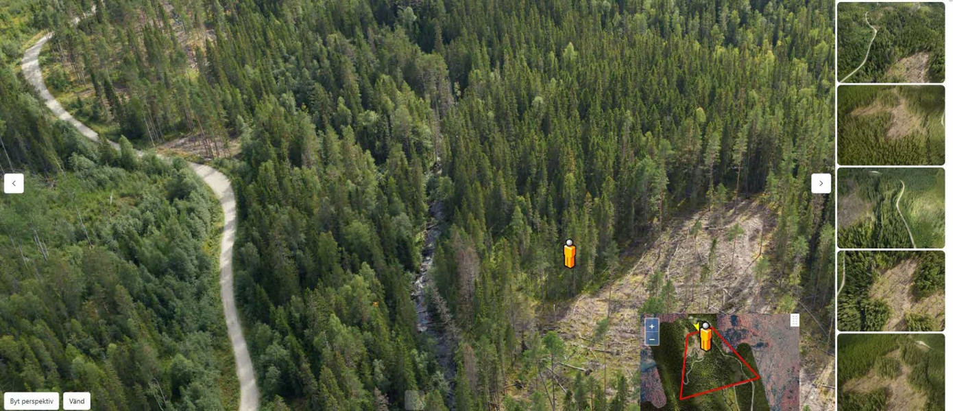
SCA has launched a new tool with AI functionality for digital forestry planning. In 2023, small-scale tests were conducted to scale up to more extensive tests in 2024.
The goal is that by 2025, all forest planners at SCA Forest will use digital forestry planning to prepare for harvesting in SCA’s own forests.
“Digital forestry site planning brings several positive aspects. The most important is that we achieve more efficient forestry site planning thanks to higher and more consistent quality of our forest data, and a large part of the planning work can be done in the office. Additionally, we can plan more during the winter,” says Magnus Bergman, who leads SCA Forest’s technology and digitization staff.
Behind the initiative for digital forestry planning lies extensive development work by SCA Forest’s technology and digitization staff. By utilizing information from forest laser scanning and harvester data in combination with AI, SCA has created a digital twin of the forest using automated data interpretation.
“We have developed our own tool that provides our forestry planners with access to high-resolution images from different perspectives and data about the forest, so they can look at the forest and analyze the area,” says Magnus.
“This means that forestry planners always plan in the office and verify different parts in the field when needed. The tool contains a wealth of data about the forest and each individual tree. It becomes a great support for the planners,” explains Per Östman from Forest and Management, responsible for implementing the new tool in the operations.
“It will also provide better data for our Production function,” adds Magnus.
The new tool is fully integrated with the “TP application”, another tool developed by SCA for forestry planning.
“Our new tool is like a viewing window for interpreting images and can only be used online and works best in the office, while the TP app is where the actual forestry planning work takes place and also works offline and thus out in the forest,” says Magnus.
With digital forestry planning, the planners can focus on visiting more complex forest areas that need to be visited in the field.
“When the planners are out in the field, they also know exactly what to look at thanks to the planning done in the office, allowing them to make the right assessment before harvest,” says Magnus.
Another task that will be significantly reduced is the manual marking of areas with cutting strips before harvesting.
“Thanks to this technology and our new working methods, we now mark much less manually than before. Most of the marking is done digitally and indicated on the map that the machine operators see on their machine computers. In the long run, we aim to go completely marking-free. Not having to mark manually with cutting strips saves a lot of time and helps reduce the use of plastic,” Magnus points out.
